


No products in the cart.
TREKKING & NORDIC WALKING
HOME > DISCOVER JESOLO > OUTDOOR & NATURE >TREKKING & NORDIC WALKING
Jesolo is the perfect holiday destination for everyone, because it groups together many diverse possible experiences. You have the crystal clear sea, the long beach full of facilities, and the endless seafront full of nightlife. But there is also an enchanted landscape, where a continuous collaboration and struggle between man and water has given rise to a beautiful World Heritage Site that is worthy of admiration and protection.
If you are a trekking lover, here in Jesolo you will find many paths to explore the hinterland or the most beautiful beach in the Upper Adriatic. Or you can join the ranks of Nordic Walking Jesolo, practicing this fun and dynamic form of fitness, and maintain a healthy and active lifestyle.
Here are some ideas of routes, with different lengths and difficulties, which you can decide to tackle entirely or only in parts. In addition to walking the inner ring of the Pegaso park, you can follow the routes listed below from the book “Excursions: Northern Lagoon of Venice” by Michele Zanetti. You can also see them on our map of cycle routes: From Jesolo to the gates of Cavallino it corresponds to the orange; From Santa Maria di Piave to Lio Maggiore it coincides with the left side of green; Jesolo, the Piave, the Cavetta correspond to blue; while Caposile, Jesolo and the Salsi follows part of the green.
ROUTES
Jesolo, il Piave e la Cavetta
Length: 23.8 km by bike + 2.4 on foot
Travelling time: 4h 15′
Technical difficulty: some kilometres of the route take place on a gravel road; pay particular attention to the short stretch between Ponte di Barche and Ponte del Revedoli, due to the precariousness of the road surface in some places
Recommended period: spring, summer and autumn
Main interests: landscape-naturalistic-historical
The Surroundings
From the gardens in front of the church in Jesolo Paese, proceed along the banks of the Sile-Piave Vecchia in the direction of Jesolo Lido. You cross the bridge and reach a crossroads with a traffic light. From here you take the left, in the direction of Eraclea, and reach a second set of traffic lights and a second bridge. You then proceed along the provincial road: after about 2.5 km you pass a crossroads overlooked by the ‘Jesolo’ sign; 200 m further on you take the right-hand side road Cà Fornera and leave the provincial road.
At the crossroads in the centre of Cà Fornera, turn left, passing by an abandoned farmhouse, and proceed along the straight road that crosses the countryside of Castellana. You then cross the green countryside and pass a few rural houses until you see the buildings of the Castellana Agency. You then turn left, going up the Piave embankment and entering the Via Massaua roundabout. You then turn right and continue in the direction of Cortellazzo, until you reach the pontoon bridge. From here you can decide whether to cross it, paying a modest toll, going in the direction of Revedoli; or you can return to the Jesolo side of the Piave, pass the restaurant and follow a path along the river’s edge.
Returning to the cycle path, you arrive at the centre of Cortellazzo, which has preserved and increased its fishing tradition over time. After a visit to the town, cross the swing bridge and head back towards Jesolo Paese.
Caposile, Jesolo and Salsi The River, the countryside, the fishing valleys
- Length: 20.8 km
- Duration: 3h 30m
- Technical difficulties: the provincial road in Jesolo and the local road in Salsi are particularly busy during the summer months.
The two unpaved sections of the route can be uneven or muddy in rainy weather.
- Recommended period: spring and autumn
- Other useful information: In the summer and autumn months you can buy fruit, vegetables and plants directly from producers along the Caposile-Jesolo stretch.
- Main points of interest: scenery / nature / history
The Surroundings
The route unfolds from Caposile to Jesolo on the banks of the Sile. You will explore a typical river environment, with luxuriant nature as a backdrop to the calm flow of the river. Active all year round.
The outing is also interesting due to the diversity of environments and landscapes that will unfold before you. Luxuriant reeds and countryside orchards alternate in an enchanting mix of natural and man-made elements, with small communities of farmers dotted around the area.
A completely different lagoon to that previously imagined, but no less charming, covered with intensely perfumed, dense hedges, which then open out onto the wide picture of spaces that man has occupied without taking over.
From Santa Maria di Piave to Lio Maggiore The lagoon of great horizons
- Length: 22.4 km
- Duration: 3h
- Technical difficulties: a large part of the route progresses along a fairly quiet gravelly road, but large puddles can form in rainy weather
- Recommended Period: all seasons
- Other Useful Information: S. Maria Di Piave can be reached from the Caposile-Jesolo provincial road, the village is located 3.5 km from Caposile. Apart from some private houses, there are no stop-off points for a large part of the route
- Main points of interest: scenery / nature / ethnography
The Surroundings
From Torre Caligo, a fort with defensive functions dating back to Roman times, you move along a dusty road on the banks of the Caligo Canal, from which the tower takes its name.
This route was very important in the past. All goods bound for Lio Maggiore passed through here, where the large Venetian ships set off from in the direction of the East. Unfortunately, only a few traces of this glorious past can still be seen along the route. Periodically, the waters in these areas regain possession of lands that were taken from them in “reclamation robberies”. A constant struggle between man and nature that is channelled into the typical landscape of the sandbank, made up of flat lands that are periodically submerged by the tides.
The dusty road becomes increasingly narrow and, almost suddenly, you will find yourself surrounded only by water, in the middle of an absolutely unique landscape, where the blues of lagoon and sky merge taking on fantastic purple and gold reflections during the first lights of dawn and sunset.
From Jesolo to the gates of Cavallino The silences of the Sile-Piave Vecchia
- Length: 20.5 km by bike; 21.3 km on foot
- Duration: 2h 45m cycling; 6h 30m walking
- Technical difficulties: most of the Jesolo-Porte del Cavallino road is gravelly There are stretches on the left-hand bank of the Sile-Piave Vecchia with high grasses that can obstruct the path
- Recommended Period: all seasons
- Other Useful Information: on the Jesolo-Porte del Cavallino route it is forbidden to leave the path and go into the fields. The area is part of the Wildlife and Hunting Association and is strictly monitored. Be aware of where access is not allowed at the port of Piave Vecchia.
- Main points of interest: scenery / nature / history
The Surroundings
The route starts from the mouth of the Sile, just outside Jesolo. The river setting with its mighty reeds provide a backdrop to your excursion for many kilometres.
Continuing past the river bank you will come to the valley of Dragojesolo. The area, in between the River Sile and the Venetian Lagoon, is characterised by the vastness of landscapes that merge, and along the road you can see unique and compelling agricultural sights.
Once you are at the port of Piave Vecchia, you will almost suddenly come across the effects of tourist urbanisation, but once you go beyond this strip of land the untouched Lagoon opens up before you. A refuge for majestic bird life, best shown by the mallard, symbol of the area.
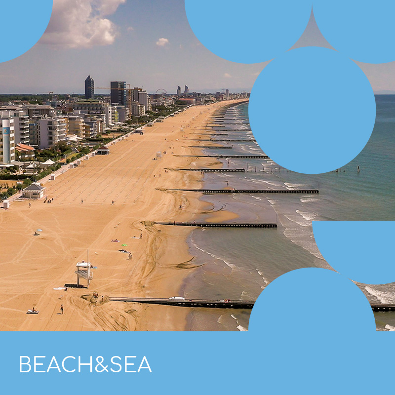
With your family, partner or friends, the beach of Jesolo will welcome you!
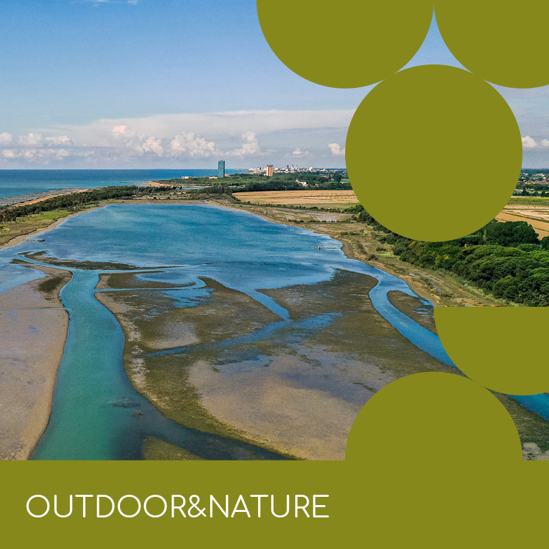
An unparalled landscape made of water and land, to explore by walk or bike.
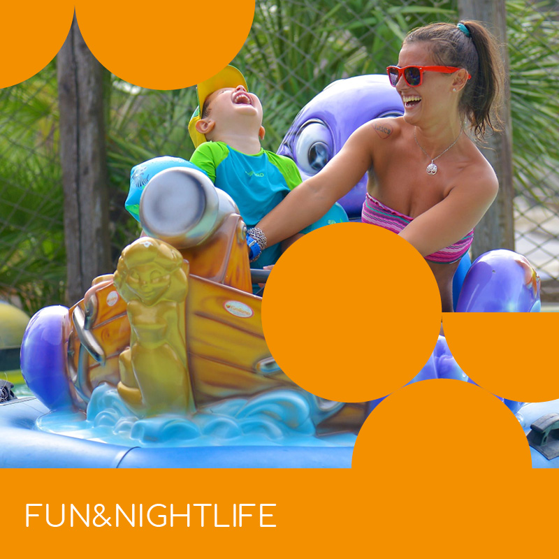
At any time and for every ages, the City Beach offers you a world of fun and opportunities.
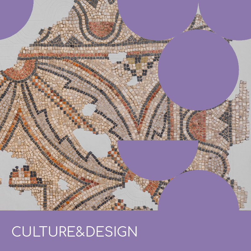
History and culture, architecture and design, blend together between the sea and the lagoon.

The meeting between lagoon, sea, land and rivers makes a unique and amazing cooking.

Walk around the city and discover the sparkling shop windows of the longest shopping street of Europe.

Organise your dream wedding!

Dynamism, energy, strenght: here’s the city of sports and events.


